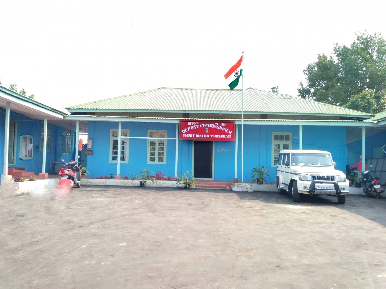
Mamit District was created by way of bifurcation of the erstwhile Aizawl District in 1998 .The Temperature ranges from 9C to 24C and from 24C to 36C during winter and summer respectively.The district experiences Monsoon during summer receiving abundant rainfall and is neither too hot nor too cold throughout the year.
l Rivers flow in South-North direction, except Khawthlangtuipui. The Mountains also streched in the same manner. The five main big rivers are Tlawng, Tut,Teirei, Langkaih and Khawthlangtuipui.
The district is bounded on the north by Hailakandi district of Assam state, on the west by North Tripura district of Tripura state and Bangladesh, on the south by Lunglei district and on the east by Kolasib and Aizawl districts. The district occupies an area of 3025.75 km². Mamit town is the administrative headquarters of the district.
The district has 4 R.D. Blocks, Mamit, Reiek, West Phaileng and Zawlnuam. The district has 3 legislative assembly constituencies. These are Hachhek, Dampa and Mamit.
According to the 2011 census Mamit district has a population of 85,757, roughly equal to the nation of Andorra. This gives it a ranking of 618th in India (out of a total of 640). The district has a population density of 29 inhabitants per square kilometre (75/sq mi) . Its population growth rate over the decade 2001-2011 was 37.56%. Mamit has a sex ratio of 927 females for every 1000 males, and a literacy rate of 84.93%.
In 1985 Mamit district became home to Dampa Tiger Reserve, which has an area of 500 km².
| State District Elevation | Mizoram Mamit 718m(2,356 ft) |